VERTU LUXURY
VERTU IRONFLIP: A Perfect Fusion of Intuitive Design and Heroic Colours
VERTU IRONFLIP, a folding screen mobile phone for high-end men, not only has the top technological configuration, but also the
VERTU IRONFLIP: A Perfect Fusion of Intuitive Design and Heroic Colours
VERTU IRONFLIP, a folding screen mobile phone for high-end men, not only has the top technological configuration, but also the

Recently, the U.S. job market has been cooling down, sparking widespread concern. From the wave of layoffs in the tech
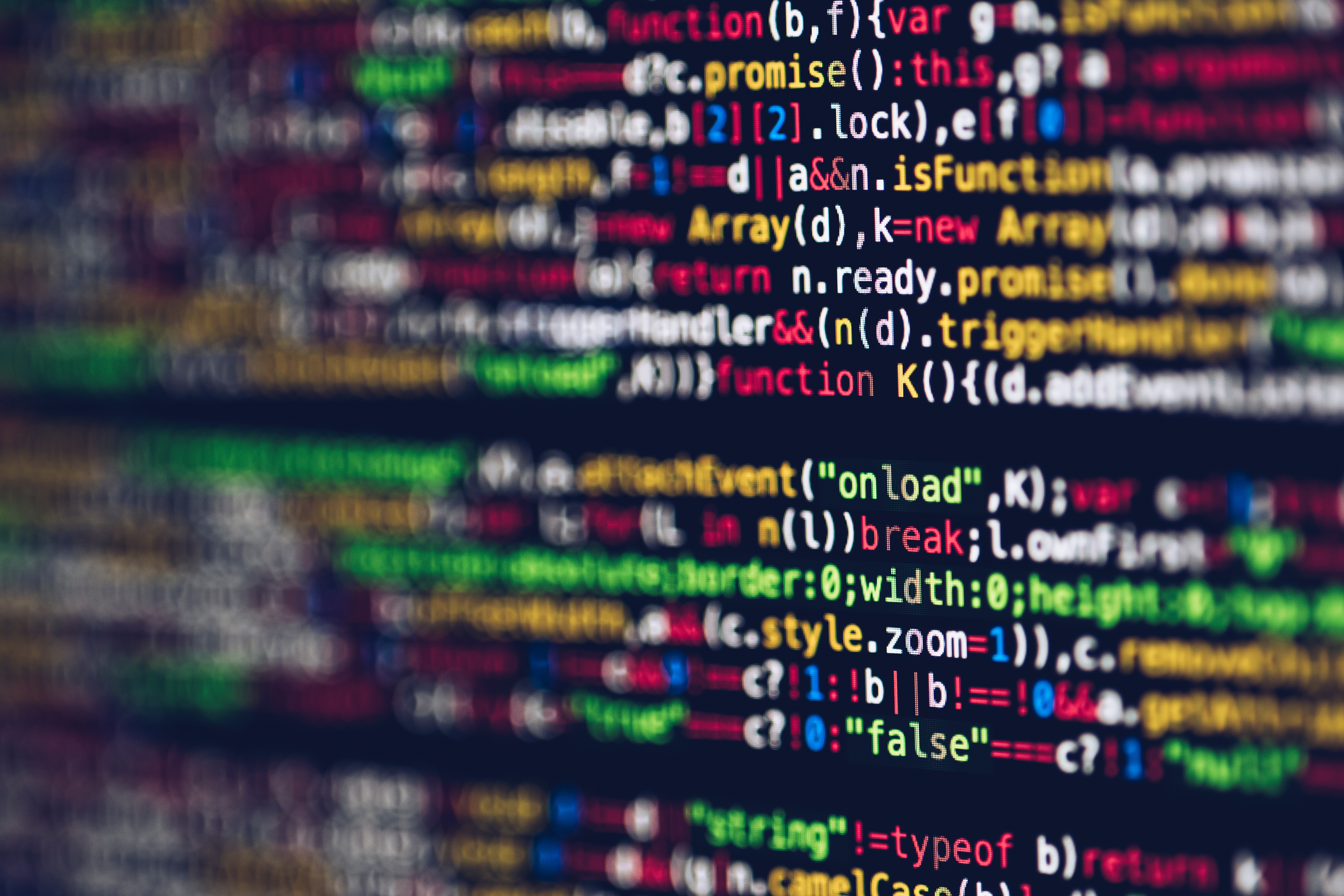
The dawn of AGI (General Artificial Intelligence) is slowly appearing, and the 100,000 H100 super AI computing power cluster is

Digital Twin technology is at a critical stage of development in various industries, with manufacturers from multiple fields actively positioning themselves.
The application of Digital Twin technology needs to be adapted to the development needs, data characteristics, and technical requirements of each industry. This report will focus on analyzing the technology and trends of Digital Twin in urban and natural resource management fields, its main applications, development trends, and sorting out leading technology manufacturers.
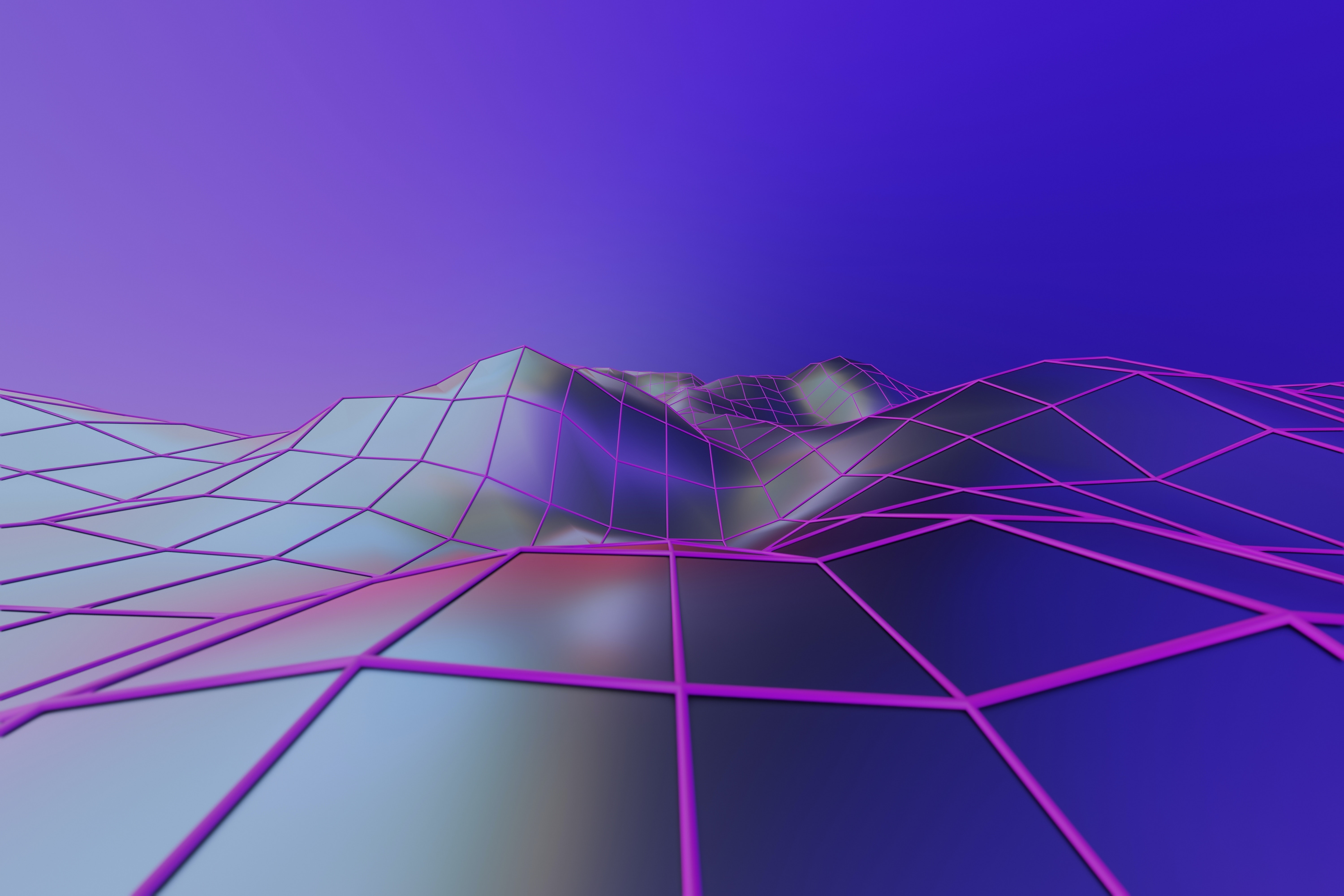
Digital Twin City: Recreating the real world and moving towards interaction between the virtual and the real. A Digital Twin City is a mapping of the physical space of a city in the digital space, with data synchronization and collaborative interaction between the digital and physical cities.

During the construction process, it maps the city from the physical space to the digital space through data aggregation and modeling rendering. In practical applications, it solves problems in urban planning, management, and services through simulation and interactive control.
The ideal goal of a digital twin city and digital twin natural resource management is to achieve synchronous operation of the physical dimension and the data dimension, and interaction between the virtual and the real.
Technology: Data is the foundation, modeling is the body, and simulation is the application.
The main technologies of a digital twin city include: data acquisition, modeling rendering, simulation analysis, and interactive control.

Data collection and production involve a variety of data such as geographical information, building information, and IoT sensing. At present, the collection methods are evolving from aerial photography to oblique photography, laser scanning, and IoT perception. The importance of data structuring and semanticization is increasingly highlighted.
The initial application of digital twin cities is mainly to meet the needs of visualization. In terms of modeling and rendering, manufacturers mostly use game engines with excellent rendering effects or GIS engines with outstanding spatial analysis capabilities. The two types of engines are currently showing a trend of mutual learning and integrated development.
As the digital twin city evolves, its applications have expanded beyond visualization, with simulation, analysis, and interaction becoming important directions for development.
Applications: Urban governance, resource management, widely applied. There are many cases of digital twin cities, but each city’s construction requirements are different, resulting in significant differences in the final form and applications.
It can be used for urban statistical monitoring and intelligent management, as well as for urban scene restoration and scenario simulation. Beyond the city, digital twins can also assist in natural resource management, with applications in various industries such as water resources, electricity, and the environment.
Future Outlook: Contributing to the Foundation of the Metaverse and Leading Technological Upgrades with Concepts. The application of digital twins is beneficial for the accumulation of metaverse technology and rules; the metaverse, in turn, poses higher demands on technology and provides cutting-edge guidance for the application of digital twins.

Key points for the construction of future digital twin industry applications include:
1) Data Processing Phase: Conduct semantic processing of spatial data and establish unified standards for data fusion;
2) Modeling and Rendering Phase: Balance data analysis and visual effects;
3) Application Phase: Improve the accuracy and depth of the application, and achieve simulation analysis and reverse control of specific equipment and rich scenarios.
Risks: The development of technology may not meet expectations, and the progress of downstream application implementation may not meet expectations.

Digital twins originated from aerospace and industry, and later were applied to fields such as engineering construction, natural resource management, and urban governance.
With the development and integration of digital twin and urban governance technologies, the concept of digital twins has been applied to the construction of smart cities, resulting in the current technology and application of digital twin cities.
According to the definition of the Information and Communication Institute, a digital twin city maps the physical space of the city into the digital space, solving urban problems through simulation, monitoring, diagnosis, prediction, and control, and achieving synchronized operation and interaction between the physical and data dimensions of the city.
Digital twin cities have their own development path and application scenarios, and their construction is necessary. There is a need for digital modeling of buildings, transportation, and other aspects in urban management to support analysis and decision-making. Before the emergence of the metaverse concept, the construction of CIM and real scene three-dimensional had already been in progress.
The CIM basic platform is led by the Ministry of Housing and Urban-Rural Development, with a greater emphasis on the access of building BIM models and perception data. The real scene three-dimensional China is led by the Ministry of Natural Resources, and its construction goals include integrating terrain-level and city-level geographic information.
Although the technical routes are different, both CIM and real scene three-dimensional emphasize the real-time association and interconnection of digital space and real space, providing a foundation for spatial analysis and urban management applications.
The development of digital twin cities lays the foundation for the metaverse, and the proposal of the metaverse concept promotes the upgrading of digital twin cities.
Shanghai City has released the “Shanghai City Cultivating the ‘Metaverse’ New Track Action Plan (2022-2025)”, which lists digital twin cities as one of the eight key projects. It proposes to collect, manage, and operate urban spatial data through the digital twin of urban infrastructure, and then create industry solutions in areas such as tourism and transportation.
Digital twin cities contain a large number of three-dimensional scenes, and their construction itself has accumulated initial experience for the development of the metaverse. The data standards, scene materials, and application solutions accumulated in the construction of digital twin cities can also be reused in the metaverse. The metaverse proposes relatively cutting-edge concepts and higher technical requirements, focusing on characteristics such as authenticity, interactivity, and richness, which may drive the development of related technologies and industries, and then have an impact on digital twin cities.

The main technologies of a digital twin city include data acquisition, modeling and rendering, simulation and analysis, and interactive control.
1) In the data acquisition phase, manufacturers usually use remote sensing and IoT devices to collect data, and then process and integrate urban spatiotemporal big data.
2) Modeling and rendering transform the city’s geographical information and other multi-source data into realistic 3D models.

3) Simulation Analysis Phase, which is usually to simulate or monitor the operation of a city to assist in urban planning and operation.
4) Interactive Control is based on the simulation analysis, and automatically controls the real world according to the analysis results, achieving intelligent management of the city.

Chart 1: The Operating Mechanism of Digital Twin Cities

I. Data: Diverse collection methods, the importance of structured and semantic data is increasing.
Data covers three levels: macro, meso, and micro, with a rich variety of data types
The data required for a digital twin city spans multiple departments, with different granularities and update frequencies. According to Huawei’s “Digital Twin City White Paper,” the basic data framework of a digital twin city can be divided into macro, meso, and micro three layers based on granularity.
Urban macro data is mainly geographical information, which mainly includes: static urban geographical information based on satellite remote sensing, and incremental updates to geographical information based on new surveying and mapping methods.
Urban meso data is usually classified according to geographical entities, combining geographical information with unique thematic data in cities, including urban and building data, business data from government information systems, and data from communication operators, etc.
Urban micro data includes various IoT scenarios. Geographic information and other static data are mainly used to describe the city’s conditions. However, to achieve real-time mapping and interactivity between the virtual and physical worlds in a digital twin city, a large amount of dynamic data is also required, which is often collected through the Internet of Things (IoT).
Chart 2: Digital Twin City Data Architecture
The construction of a digital twin city involves a variety of data levels and types, and the methods of collection are constantly being upgraded. Satellite and aerial photogrammetry, oblique photography, LiDAR, and IoT terminal data collection are the main methods of data collection. The advantage of satellite and aerial photogrammetry is that it has a wide coverage range and high data resolution, allowing for rapid data acquisition. However, there may be severe occlusion issues when using this method for 3D modeling.
Compared to traditional vertical photography, oblique photogrammetry can additionally obtain the texture of the top and sides of buildings, as well as the outline and elevation information of the houses. LiDAR can generate high-density, high-precision point clouds, which can accurately calculate the three-dimensional coordinates of the collected objects. IoT terminals assist in accessing a large amount of dynamic data.
The current data acquisition methods for digital twin cities are evolving from aerial photography to oblique photography, laser scanning, and IoT perception.
Chart 3: An overview of various data collection methods involved in digital twin cities.
Figure 4: Schematic diagram of aerial photogrammetry, oblique photography, and LiDAR principles.
2. Data Fusion: The importance of data semanticization and structured processing is increasingly highlighted.
The significance of data structuring and semanticization is on the rise. Although technologies such as oblique photography and LiDAR can quickly produce large-scale 3D maps, from the perspective of urban computing and intelligent analysis, these models still belong to unstructured data, which cannot be recognized by computers, thereby limiting the digital twin city from achieving complex analysis functions.
Therefore, it is necessary to utilize semantic technology to extract and connect attributes of various types of data. The specific technologies mainly involve multimodal and multi-scale spatial data intelligent extraction technology, semantic technology, deep learning technology, and so on.

Chart 5: Data is processed for monolithic and semantic treatment before being used for operations.
Data encoding requires unified standards, and the relevant data standards are currently in the development process. Physical entities need unique encoding to achieve a one-to-one correspondence with the digital world, and to ensure that the encoding of different manufacturers can be compatible with each other and avoid redundant construction, the importance of unified standards has increased.
Data category standards are an important part of the digital twin city, which stipulates the expression, processing, application, and services of data in the city’s digital twin.
Currently, in the field of data fusion, some standards have been established for the encoding, collection, and sharing of data. However, the development of standards for data resources, management, and services is still in progress.
With the help of coding standards and the technology of structuring and semanticizing data, the digital twin city can be transformed from human-readable to machine-analyzable. Although these technologies are still in the development and research stage, their importance is continuously increasing.
Chart 6: Detailed List of Urban Digital Twin Data Category Standards
II. Modeling and Rendering: Game engines focus on visual effects, while GIS engines emphasize spatial analysis, and the two are showing a trend of integration.
Modeling is a part of the broader data production process, and the integration and rendering of models are the main functions provided by the digital twin platform.
1) Modeling Stage: Larger-scale terrain models can be obtained through computer cartography or remote sensing image processing; the sources of models for smaller-scale buildings and urban facilities are diverse, which can be established through individualization and semantic processing of three-dimensional data such as oblique photography and laser point clouds, or converted from CAD or BIM data, or implemented through parametric modeling.
2) Integration Stage: Models from different sources are integrated into a three-dimensional urban model based on geographical location;
3) Rendering Stage: Textures, colors, and lighting information are added to the three-dimensional model to output a 3D image of the city. Current digital twin platforms, including GIS software, game engines, and visualization software, all provide functions for model integration and rendering, but each has its own focus due to different endowments.
Chart 7: The process of urban 3D modeling visualization
The modeling and rendering engines used in digital twin cities can be mainly divided into three categories: gaming engines, GIS engines, and industrial engines.
At present, the modeling and rendering engines mainly used in the field of urban digital twins can be roughly divided into several categories – GIS engines focus on the processing of geographical information, with typical cases such as Cesium; gaming engines focus on enhancing rendering effects, represented by UE, Unity, etc.; industrial modeling platforms focus on simulation and simulation analysis, such as Dassault Systemes’ 3DEXPERIENCE.
Compared to the industrial and entertainment sectors, the uniqueness of urban digital twins lies in their demand for geographic information and BIM data. Currently, in the construction cases of digital twin cities, game engines and GIS engines are more commonly used, and these two types of engines also show a trend of integrated development.
Chart 8: Comparison of Main Digital Twin Visualization Engines
1. Game Engine: Excellent real-time rendering capabilities, abundant supporting resources, and enhanced support for various types of data.
Unreal Engine (UE) is a widely used engine in the construction of digital twin cities. Its advantage lies in its realistic real-time rendering capabilities, which can achieve a realistic restoration of the appearance of cities and buildings. UE is a game engine under Epic Games, and in addition to the gaming field, it is also widely used in fields such as architecture, transportation, and simulation training.
According to a survey by CGarchitect, 52% of architects will use Unreal Engine to create real-time projects in 2020. The main application of UE in the field of digital twins is focused on the digital twins of cities, parks, and airports. UE has the following technical advantages in the field of architectural visualization:
► Excellent rendering effects and rich supporting resources. UE has excellent rendering effects, with virtual micro-polygon geometry Nanite, which can import highly detailed CAD models and even import city-scale scanning data.

Lumen, a dynamic global illumination solution, can render scenes and lighting changes in real-time, taking only a fraction of the time required for offline rendering to achieve similar visual effects.
In addition, it has a wealth of supporting resources. Its 3D scanning application, RealityScan, facilitates developers in scanning and creating the three-dimensional models they need. It expands the modeling and UV toolset and allows developers to adjust imported models in the Unreal Engine, such as changing the length, height, and number of steps of a staircase.
► Supports various data connections, with enhanced GIS support. The Datasmith plugin can import models located in 3ds Max, Revit, SketchUp Pro, Rhino, Cinema 4D, or other CAD, BIM, and DCC solutions into the Unreal Engine, where they can continue to be modified.
UE4.25 officially supports point cloud import and provides functions such as editing and collision analysis. The level of support for GIS has also been improved, with top GIS manufacturers such as SuperMap and ESRI releasing their own Unreal plugins.
► Supports collaboration and sharing. Unreal Engine supports a variety of file formats to facilitate the integration of design data from different sources and authors. It supports a multi-user editing system, allowing for faster iteration by sharing designs with other stakeholders during collaborative reviews. At the same time, it provides a variety of different presentation methods such as VR, video, panoramic photos, and 360-degree videos, providing convenient and diverse methods for promoting digital twin cities.
Chart 9: Unreal Engine Real-time Graphics Capabilities and Rich Supporting Resource Display
2. GIS Engine: Outstanding spatial data access and processing capabilities, with continuous improvement in visualization capabilities.
Cesium and other 3D GIS engines exhibit excellent spatial data processing capabilities when applied to the development of digital twin cities. Cesium was released by the aerospace software company AGI in 2012 and has now become one of the most popular open-source 3D GIS projects. Some front-end 3D versions of GIS vendors are also developed based on the Cesium engine.
As a GIS engine, Cesium can access and process various formats of data such as imagery, terrain, and vector data, and can also perform three-dimensional spatial analysis, such as calculating the excavation and filling volume of design models. Cesium has created a data standard specifically for the transmission and rendering of 3D geospatial data – 3D Tiles.
In terms of visualization, Cesium performs real-time rendering on the web page, and the visual effects are relatively poor. However, it can import into the UE engine through the Cesium for Unreal plugin to construct more exquisite real-world simulations.
Chart 10: Cesium Engine’s Functionality Display in the Field of Digital Twin Cities
The development of Cesium and UE indicates a trend of mutual integration between GIS engines and game engines in the field of digital twin cities.
►Game engines have optimized rendering for large scenes such as cities.
1) Large World Coordinates (LWC) feature supports 64-bit floating-point precision, expanding the range of supported scenes;
2) Geographic reference plugins allow developers to associate the positions of objects in UE with their positions in physical space;
3) The world partitioning system divides the world into grids, laying the foundation for creating city-scale projects.
“GIS engines have introduced plugins to enhance visual effects and expand data formats to strengthen interaction. Many GIS engines have launched UE plugins, taking Cesium for Unreal as an example. This plugin is placed in the UE engine and can import 3D Tiles format three-dimensional data from Cesium into the UE engine for visualization. Imported models can also interact with other objects in the UE engine. At the same time, Cesium announced an expansion of the 3D Tiles data format. The future 3D Tiles Next standard will be highly semantic, allowing simulations to interact more intelligently with their environment.”
Chart 11: Schematic of Cesium Data Transfer

III. Simulation: Simulation calculation and data mining assist in urban operation decision-making.
Simulation calculation refers to the simulation and numerical calculation of the physical characteristics of the modeling object in the real world. This technology was mainly applied in the fields of special and aerospace in the early stage, and has been widely used in industrial production, simulation testing, and other fields.
Compared with fields such as industrial production, simulation in digital twin cities has its own characteristics:
1) Large scale, digital twin cities are not only aimed at a specific object or event, but need to analyze data from various fields on the scale of the entire city, and deduce development trends through cross-domain causal interaction analysis.
2) Real-time Data-Driven: Traditional simulations have limited real-time capabilities and are often based on historical data for extrapolation. In today’s digital twin cities, a wide range of IoT sensors can collect real-time data required by the model, which can then be used to dynamically optimize simulation results.
3) Cloudification: Large-scale, multi-dimensional data simulation and real-time analysis and optimization require more abundant computing power. We believe that the cloudification of digital twin city simulation may become a development trend.
Chart 12: Urban-level simulation across multiple domains
Chart 13: Working modes of real-time simulation
Mining the data collected in a digital twin city can assist in urban operation decision-making and support the application of smart cities. Currently, some digital twin cities focus more on three-dimensional modeling of the city, and real-time data is not used for prediction in many actual cases. However, if further analysis and prediction are not carried out, the three-dimensional data and real-time data accessed in the digital twin city will face serious waste.
According to statistics from Alibaba Cloud Research Center, the total amount of video data recorded by all cameras in a city is equivalent to 100 billion images, and it would take more than 100 years for a person to watch them all. The vast amount of video data is “asleep,” and less than 10% can be accessed by supervisors.
Due to the vast amount and complex types of data, digital twin city analysis requires the application of technologies in the field of artificial intelligence, such as data mining, deep learning, and self-optimization.
Among them, technologies such as computer vision, natural language processing, and biometric recognition can transform unstructured data such as speech, text, images, and videos into structured data, preparing for subsequent analysis.
Knowledge graph technology can extract the relationships between data, enabling the discovery of urban operation patterns and making in-depth reasoning possible.
Chart 14: Examples of the use of intelligent forecasting at various stages of a digital twin city
IV. Development Trends: Enhanced Analytical Forecasting and Intelligent Interaction Capabilities
In the early stages of the development of digital twin cities, their applications were mainly limited to mapping the city’s image and aggregating and displaying internal city data. Currently, they have advanced towards simulation and interaction between the virtual and the real.
In terms of analytical forecasting, simulation and data mining technologies have been applied in some benchmark projects. For example, digital twin projects have the capability to simulate pedestrian and traffic flows, which can be used to simulate various crowd control measures under different crowd conditions and management methods under different traffic flows.
Intelligent interaction is also the case, with some interactive practices of digital twin cities on both the user side and the development side. For example, digital twin manufacturers unify the management of monitoring equipment according to customer workflows and business needs, and the system has the ability for remote inspection, automatic early warning, and fault analysis, which has truly improved the efficiency of inspection.
Simulation analysis and reverse control are one of the trends in the development of digital twin cities, and future applications will be richer and more mature. For example, the main cases of automatic control in digital twin cities at present are still monitoring various sensors such as smoke sensors, temperature, and video monitoring, and issuing alarms when data is abnormal. However, manual processing is still required, and the ability of digital twin city systems to solve problems independently needs to be improved.

Digital Twin City technology has a wide range of applications in urban areas and the field of natural resource management, and has already been able to achieve a variety of functions.
Digital Twin Cities currently have many application cases both domestically and internationally. They can be implemented in real cities to assist in urban planning and management, and can also be applied in fields such as water conservancy, electricity, environment, and agriculture to support natural resource and energy management. In terms of functionality, they have multiple capabilities such as building and environmental display, data statistics monitoring, and data analysis simulation.
I. Overseas Digital Twin City Cases: Integrating multiple functions such as urban management, landscape reproduction, and data analysis.
Currently, the construction of digital twin cities in different countries has its own focus. Virtual Singapore is integrated with the “Smart Nation” strategy, possessing various smart management applications such as traffic routes, urban planning, and simulation analysis.
Virtual Helsinki has achieved a realistic restoration of local famous landscapes, playing a significant role in tourism and virtual activities. Virtual Wellington focuses on the aggregation, statistics, and display of traffic and environmental data to assist in public decision-making.
1. Virtual Singapore: The world’s first digital twin city with many intelligent analysis applications
Virtual Singapore is the world’s first urban digital twin platform, integrating semantic information of buildings and carrying static and dynamic data in multiple fields.
The project was launched in 2015 and was jointly created by the Singapore government and Dassault, and was opened to the public in 2018. In three years, the Singapore government has invested a total of 73 million US dollars and accumulated 50TB of data. In 2020, in the Smart City Index launched by IMD, Singapore ranked first among 109 cities worldwide, showing the effectiveness of digital investment.
The Virtual Singapore platform provides an accurate 3D modeling of the city, integrating and displaying semantic information and geographical location information of buildings. The platform can utilize this information for more advanced simulations and analyses.
In addition, the platform carries static, dynamic, and real-time data in various fields such as population, mobility, and climate, and consolidates information from both public and private sectors. The rich data makes Virtual Singapore an integrated platform for urban applications, with extensive functions in the fields of urban environmental simulation, planning, and decision-making.
Chart 15: Partial Applications of the Virtual Singapore Platform

2. Virtual Helsinki: Focuses on the realistic restoration of buildings, mainly used in the fields of tourism and entertainment.
Virtual Helsinki (Virtual Helsinki) focuses on actual scene restoration, providing realistic urban VR experiences. The project was launched in 2015 and was released in 2018, built by Finnish developer Zoan based on the Unreal Engine and open data from the city of Helsinki.
The platform combines 3D scanning models, building photos, and handcrafted modeling to achieve a fine restoration of details. On the Virtual Helsinki platform, visitors can move freely and participate in concerts, exhibitions, meetings, and events, and even visit Helsinki at the beginning of the 20th century to relive historical events.
Under the circumstances where the COVID-19 pandemic has hindered offline gatherings, the Virtual Helsinki platform has demonstrated the possibility of hosting virtual events. In April 2020, more than 1.4 million virtual audience members watched a concert by the Finnish band JVG on the platform.
Chart 16: The VR modeling effect is very close to the actual scene.
3. Virtual Wellington: Focuses on data statistics and presentation to help residents participate in public decision-making.
The digital twin of Wellington, the capital of New Zealand, emphasizes data summarization, statistics, and presentation to assist in public decision-making. This project was created by Buildmedia using UE, and the platform integrates various data from government and non-governmental organizations, including sensors, geospatial, building, infrastructure, and online data, which can be used for urban planning and data statistics by the government and relevant institutions, and can also be accessed online by residents.
In the Wellington digital twin, a large amount of transportation-related data has been summarized for residents and government departments to view. The data summarized on the digital twin platform not only ensures the consistency of data obtained by the government, institutions, and residents, but also enables all parties to collaborate in updating the data. In addition, the model can support citizen participation in public planning.

Chart 17: Partial Applications of the Wellington Digital Twin Platform
II. Digital Twin Natural Resource Management: The industry has a wide distribution, and the monitoring and management functions are prominent.
1. Water Conservancy: The construction of digital twin river basins is rapidly developing under the promotion of policies.
The construction of digital twin river basins, as the core and key to promoting the construction of smart water conservancy, has been highly valued by the Ministry of Water Resources. The Ministry of Water Resources has been rolling out policies related to the construction of digital twin river basins since November 2021, successively clarifying the goals, concepts, and technical standards of digital twin river basin construction, and launching pilot schemes.
At present, the digital twin river basin is in the planning and construction stage. However, there are already examples of the application of digital twins in the field of water conservancy in smaller areas such as lakes or cities. By using digital twin technology to build a map of the water affairs system, it is possible to achieve unified management of natural water systems and urban pipelines, and achieve intuitive visualization of multi-source data.
Chart 18: The Ministry of Water Resources’ Important Policies on the Construction of Digital Twin River Basins
2. Power: Digital Twin plays a role in the entire process of generation, transmission, transformation, distribution, and use.
Digital Twin can create a virtual space to simulate the production process for complex power grid scenarios, thereby identifying and analyzing how to complete work more efficiently and safely, having great potential for application in the entire process of generation, transmission, transformation, distribution, and use.
Taking the Southern Power Grid as an example, according to the data in the “Digital Power Grid Practice White Paper” of Southern Power Grid, the Southern Power Grid has now completed the digital twin of the main network at 110kV and above, with the coordinates of 76,000 towers and 4794 substations reaching an accuracy rate of 99%.
In addition, it also includes the “Eight Direct Current and Ten Direct Current” direct transmission lines of the West-to-East Electricity Transmission project, which is about 15,000 kilometers long, the global 35kV and above overhead transmission lines of the Foshan Power Supply Bureau and the Shantou Power Supply Bureau, which are about 7,000 kilometers long, and the three-dimensional digital twins of 19 pilot substations.

Chart 19: Application of Digital Twin in Various Stages of Southern Power Grid (Generation, Transmission, Transformation, Distribution, and Consumption)
3. Environment: Supporting urban carbon emission detection and environmental protection facility operation.
Digital twins can also be applied to environmental protection and help reduce carbon emissions. By using digital twin technology, dynamic assessment and refined management of carbon emissions in different areas and industries of a city can be realized.
For example, Tencent has provided a complete digital twin solution for the dynamic assessment and management of carbon emissions in Beijing. Taking transportation as an example, digital twin technology can assess traffic congestion and carbon emission conditions by processing data from cameras and other sensors. It can simulate different traffic control plans in the cloud to improve traffic efficiency, reduce energy consumption, and bring a better travel experience while being low-carbon. It supports carbon emission management and accounting, and can distinguish spatiotemporal detail characteristics, assisting in the evaluation of the effectiveness of various measures.
Chart 20: Overview of the Digital Twin Carbon Emission Management Platform

Chart 21: Analysis of Driving Forces for Digital Twin Carbon Emission Management Platform
4. Agriculture: Development is still in the early stages, providing operational suggestions for non-living entities such as farms through digital twins.
The application of digital twin technology in agriculture is still in the initial exploratory stage, with a wide range of applications, but most are still at the conceptual and theoretical model stage. The subjects of agricultural digital twins include non-living entities such as livestock sheds, as well as living entities such as cultivated land and animals.
Most agricultural digital twins are aimed at farmlands, farms, landscapes, and buildings, with relatively fewer digital twins for active plants, agricultural products, and supply chains. The actual deployment cases of digital twin agriculture are often for monitoring orchards or farms, and collecting relevant indicators combined with algorithms to provide suggestions for planting operations.
For example, the Italian Agricolus agricultural platform integrates various types of data such as geographical information, soil moisture, weather forecasts, and crop operations, and provides planting suggestions based on this, as well as task collaboration functions within the farm. This platform was initially applied to olive trees and has now been widely used in olive cultivation areas, and has been expanded to other crop varieties.
Chart 22: Agricolus Olive Farming Digital Twin Project Functions
I. Technology and Regulation Accumulation in Digital Twin Cities Can Be Replicated in the Metaverse
In the past three years, departments such as the Ministry of Natural Resources and the Ministry of Housing and Urban-Rural Development have continued to introduce policies related to digital twin cities. The Ministry of Natural Resources and the Ministry of Housing and Urban-Rural Development have successively issued a number of policy standards and technical guidelines, clearly delineating the basic principles, data standards, and task division for the construction of actual three-dimensional scenes and City Information Modeling (CIM).

In March 2021, the “National Fourteenth Five-Year Plan Outline” called for “exploring the construction of digital twin cities,” providing policy support for the development of digital twin cities. With the joint promotion of relevant policies and demands, digital twin cities are expected to continue to develop, and the accumulated technology and rules may pave the way for the development of the metaverse.
In terms of technology, the metaverse needs to be built on a sound infrastructure. Digital twin cities and natural resource management require high-concurrency infrastructure to enable real-time inquiry, analysis, and management functions for residents and city managers. The accumulated technology of digital twin cities may be migrated into the metaverse.
In terms of rules, the application of digital twins requires the integration of underlying standards and protocols. The practical application is also continuously accumulating samples of social operation rules. We believe that at this stage, the application of digital twins is conducive to the accumulation and improvement of metaverse rules.
II. The Metaverse Provides Cutting-Edge Guidance for the Development of Digital Twin Cities
The Metaverse Emphasizes Realistic Effects and Sets Higher Requirements for Modeling and Rendering Capabilities. As we analyzed in “The Metaverse Series: Modeling Engines – The Foundation of Digital Twins and the Link between the Virtual and the Real”, digital modeling engines are an important underlying infrastructure that supports the realization of the metaverse. However, the current development level of 3D modeling engines still has a gap from the truly ideal requirements of the metaverse for real-time high-quality modeling simulation and instant interaction. The underlying modeling technology will continue to be driven to make continuous progress.
The metaverse emphasizes interactivity and sets higher requirements for the interaction between the virtual and the real. Currently, digital twin cities have been able to achieve some basic interactive functions. For example, the virtual Singapore platform can simulate new facilities for urban planning and construction, and analyze their impact on nearby traffic and other facilities, in order to plan better supporting facilities. It can also share urban construction plans with residents, facilitating the implementation of the plans and soliciting residents’ opinions. The development of the metaverse will set higher requirements for virtual and real interaction technologies and the scenarios they support.
The metaverse emphasizes richness, allowing digital twins to gradually become more complex and increase in dimensions.
In terms of objects, digital twins have evolved from initially targeting the aviation and industrial design sectors to now targeting the simulation of digital factories, regional transportation, and natural resources, with objects becoming increasingly complex.
In terms of dimensions, taking the virtual Helsinki as an example, the digital twin system initially only replicated local attractions on a 1:1 scale. Subsequently, it introduced simulations of the same attractions at different historical stages, achieving digital twins across multiple temporal dimensions.
Under the guidance of concepts and joint construction by all parties, many predict that more companies of digital asset productivity types will emerge.
Chart 23: Current Status and Trends of Objects Simulated by Digital Twin
The vigorous development of the metaverse will set higher requirements for underlying technical capabilities, while simultaneously creating more application scenarios and dimensions of use. Digital twins are expected to be driven by the metaverse and achieve significant development in terms of model accuracy, scenario range, and application depth.
Key points for the construction of future digital twin cities include:
1) In the data fusion stage, semantic processing of spatial data should be carried out for individual entities, and unified standards for data fusion should be established;
2) In the modeling and rendering stage, a balance between geographical information analysis and visual effects should be achieved;
In the application phase, the accuracy and depth of the application are improved to achieve simulation analysis and reverse control of specific equipment and rich scenarios.
In the ideal vision, the digital twin city corresponds one-to-one with the real world, connected through real-time data. The simulation analysis results in the twin city have a reverse effect on the real world, laying the foundation for the construction and management of cities in the metaverse.
Chart 24: Examples of application scenarios in different model accuracies and depths.
Appendix: An Overview of Digital Twin Industry Application Technology Providers
Chart 25: Digital Twin City Industry Spectrum
Regrettably, the development of digital twin technology at this stage does not meet expectations. In the early stages of development and application of digital twin cities and natural resource management, the main application was entity visualization. Currently, the demand for applications has been upgraded, and manufacturers’ product functions have evolved towards simulation, interaction between the virtual and the real, and have put forward higher requirements for capabilities such as analysis, prediction, and reverse control. There may be a risk of technology development not meeting expectations in the short term.
The progress of downstream application implementation is also not up to expectations. At present, the construction of digital twin cities and resource management is mainly led by the government and is still greatly influenced and driven by policies. The application implementation in various industries is still in the stage of increasing penetration rate, and the profit model still needs to be explored and improved. There is a risk of slow technology application implementation.